
Sriharikota: The Indian Space Research Organisation (ISRO) and the United States’ National Aeronautics and Space Administration (NASA) successfully launched the NASA-ISRO Synthetic Aperture Radar (NISAR) satellite aboard ISRO’s GSLV-F16 rocket from the Satish Dhawan Space Centre (SDSC-SHAR), Sriharikota.
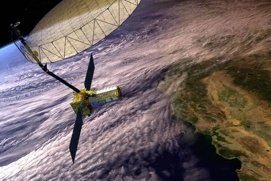
Jointly developed by the two space agencies, NISAR is the world’s first Earth observation satellite equipped with dual-frequency synthetic aperture radar technology.
The 2,392-kg satellite has been placed into a Sun-synchronous orbit (SSO) with an inclination of 98.40°, enabling it to circle the planet 14 times a day and scan almost all land and ice surfaces twice every 12 days.
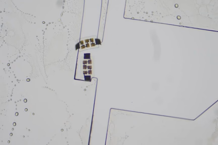
NISAR is equipped with two advanced radar systems, NASA’s L-band radar and ISRO’s S-band radar, each tuned to observe unique features such as soil moisture, land deformation, crustal shifts, and surface roughness.
Congratulations India!
Successful launch of #GSLV-F16 carrying the world’s first dual-band radar satellite #NISAR…a game changer in precise management of disasters like cyclones, floods etc. Also, it’s capacity to penetrate through fogs, dense clouds, ice layers etc make it a… pic.twitter.com/YbL4kFmVoA
— Dr Jitendra Singh (@DrJitendraSingh) July 30, 2025
These are mounted on a NASA-developed 12-meter unfurlable mesh antenna and integrated with ISRO’s I3K satellite bus. The satellite employs SweepSAR technology for a wide 242-km swath and ultra-high spatial resolution, detecting surface movements as small as a centimeter.
ISRO Chief V. Narayanan praised the achievement, noting the mission not only exemplified technological excellence but also deepened strategic collaboration. “NISAR is a symbol of mutual enrichment. Its data will benefit humanity as a whole,” he said, extending thanks to NASA’s Jet Propulsion Laboratory and India’s leadership.
Union Minister of Science and Technology Dr. Jitendra Singh highlighted the satellite’s wide-ranging applications from monitoring earthquakes, volcanoes, and landslides, to sea ice classification, storm tracking, crop mapping, and maritime surveillance. “It will revolutionize disaster management and support India’s role as Vishwabandhu, universal benefactor,” he said.
NASA noted that the satellite would significantly enhance understanding of climate change, crustal dynamics, and natural hazards, providing crucial data to scientists and policymakers worldwide.
The launch underscores the growing India-US space partnership, which has gained momentum since the 2025 Modi-Trump summit, where both sides pledged deeper cooperation in civil space exploration. The recent Ax-4 mission that sent Indian astronaut Group Captain Shubhanshu Shukla to the International Space Station further cemented this bond.